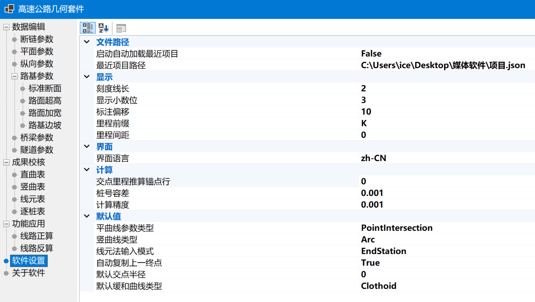
Description
The Highway Coordinate Elevation Calculation Suite is a professional tool designed for **highway design, road measurement, and line coordinate calculation** scenarios, providing complete functionality for the calculation of highway horizontal curves, vertical curves, and stake coordinates and elevations. The software supports various data organization and calculation methods for lines, and offers commonly used features such as result table verification and forward and reverse calculations, making it suitable for engineering technicians to perform line data calculations and verifications.
The software's calculation capabilities cover both **planar alignment and longitudinal profile**. Horizontal curves support the line element method, intersection method, and coordinate method, capable of handling broken chains and incomplete transition curves; vertical curves use the variable slope point method and support **precise circular arc calculations**, facilitating the completion of coordinate and elevation calculations related to highway alignments.
## Software Features
**Horizontal Curve Calculation:** Provides multiple calculation methods such as **line element method, intersection method, and coordinate method**, allowing users to select the appropriate data entry and calculation method based on existing line design materials.
**Complex Alignment Handling:** Supports main points, line element chains, and broken chains, while also capable of handling **incomplete transition curves**, including oval curves and other complex alignment situations.
**Vertical Curve Calculation:** Supports vertical curve calculation using the variable slope point method and employs **precise circular arc calculations**, capable of calculating main points such as TC, MC, CT, providing support for line elevation calculations and result verification.
**Result Verification:** Supports straight and curved tables, as well as line element tables, stake tables, and other commonly used engineering results, displayed according to **export template styles**, facilitating the inspection and verification of calculation data.
**Forward Calculation:** Can perform forward calculations based on line parameters and specified stake numbers, quickly obtaining coordinate and other calculation results for the corresponding line position.
**Reverse Calculation:** Supports reverse calculations based on existing coordinates and provides **instant single-line calculations and overload prompts**, making it convenient for on-site data checks and line position judgments.
**Engineering Angle Display:** Angles are displayed in the format **ddd°mm'ss.ss"**, which aligns more closely with common usage habits in road measurement and engineering calculations.
**Table Editing:** The entire table provides a right-click shortcut menu, allowing direct copying and cutting, as well as pasting or deleting rows, and offers a **row-level clipboard**, making it more convenient for extensive editing of line parameters.
**CSV Data Exchange:** Supports importing and exporting CSV files, enabling quick import of existing project data and facilitating the output of calculation results for further processing by other software.
**Code Coverage Extension:** The project has registered **Microsoft.Testing.Extensions.CodeCoverage 18.10.0**, reserving relevant capabilities for subsequent test coverage statistics.